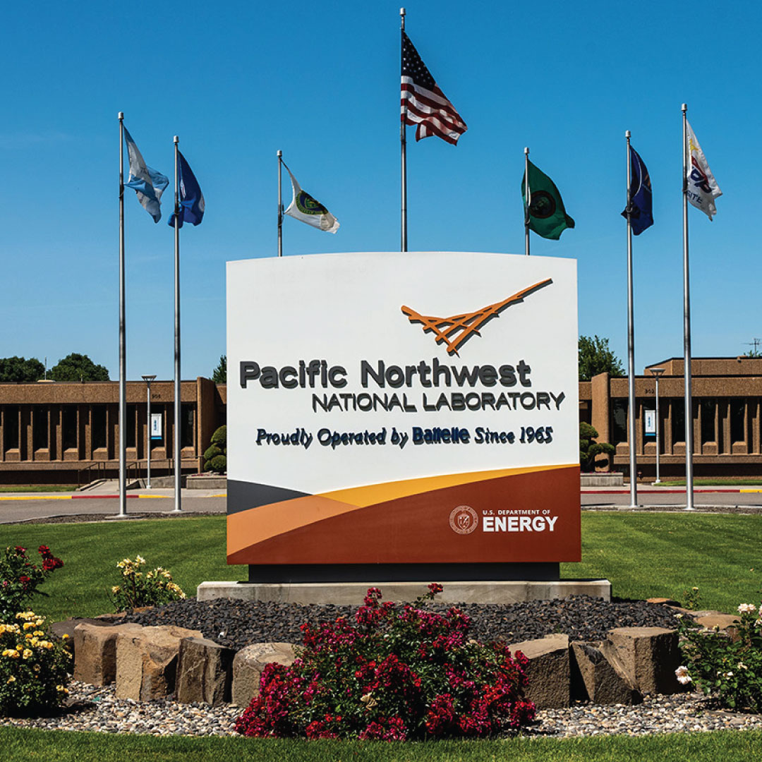
Researchers at the Pacific Northwest National Laboratory (PNNL) have developed a new geolocation application software that uses geographic data to produce an open-source grid reference system that provides a precise way to define a structure’s location.
The DOE hopes that this free-to-use technology, known as the Unique Building Identifier (UBID), would eventually allow programs to better track and reduce energy consumption and emissions from buildings.
With their many features, computerized maps are incredible. You can use them to find your way. They will even take you to points C and D, as well as places in between while recommending the best coffee, pizza, and office supply stores in the area.
Read Also : Qene Games utilize Ethio Telecom to market its mobile games in Ethiopia
They are not without flaws, however. Not by a long shot. Among a smart subset of map users, flaws lie beneath the surface. Maps that don’t show addresses perplex precision-minded users.
As an alternative, they may display an actual address, although this is not applicable to all structures. The structure may not have an address at all. Maybe a map was created that contained an anomaly not found on any other map. A structure’s location can’t always be determined by tax lots alone.
“By making our buildings more energy-efficient, we hope to decarbonize our buildings countrywide,” said Harry Bergmann, a technology manager in the DOE’s Building Technologies Office. “To do that, we need to know exactly whose buildings we’re talking about and what energy-consuming items are contained within them. “Knowing how to cut the energy use and emissions from these buildings is a crucial first step.”
What The New Geolocation Application Is
This is not a mapping application. Instead, UBID’s creators developed the software to declare a structure’s location using a standard language and a code that corresponds to longitude and latitude coordinates.
These coordinates form a rectangle that represents a structure’s footprint and location. Other mobile applications can be utilised with UBID data.
Read Also : EIB to Finance Chad’s ICT System and Digitization of Public Services
A utility provider, a building owner, a building manager, or other users who require precise building data can understand the data. Cities, for example, are progressively mandating buildings to adhere to energy and emission policies and rules. Accurate location data is required for these rules to work, as it allows for the comparison of one building to another. That is something that UBID can reliably supply.
Property Codes, Not addresses
UBID provides a code string of letters and numbers to a structure, land parcel, or any other two-dimensional footprint based on an open-source grid reference system. UBID uses this approach to determine a shape’s centre of mass—for example, a building—and then uses that information to compute the north, east, south, and west sides. These bounds are reflected in the code strings, which UBID users can read and write.
UBID is a quick program. For a typical dataset of roughly 1 million records, it can construct identifiers and detect duplicate records in 5 to 10 minutes. UBID is also free. The software developers at PNNL chose to make it open-source and available to the greatest potential audience.
According to PNNL computer scientist Mark Borkum, UBID’s basic, the standard format can be used for reasons other than exact geographic position.
“A city can assign UBIDs to their building stock and also assign those UBIDs to their energy benchmarking data,” said Borkum, who has been working on UBID for over three years. “Now they can more easily—and accurately—cross-reference all of that data, and they have access to energy usage statistics.”
