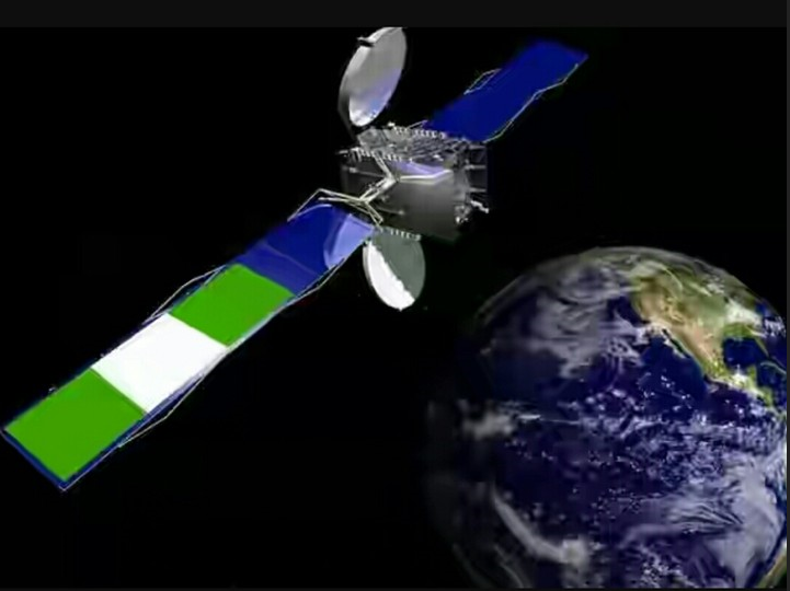
The Nigerian Airspace Management Agency (NAMA) is set to collaborate with the Nigerian Communications Satellite Limited (NIGCOMSAT) to broaden its satellite-based navigation system called the Satellite Based Augmentation System (SBAS).
This expansion will transcend Nigeria’s airspace to the airspace across the African continent, which will result in improved precise landing and take-off for pilots.
The Acting Managing Director of NAMA, Matthew Pwajok, announced this during the SBAS flight demonstration at the Nnamdi Azikiwe International Airport, Abuja.
According to Pwajok, the expansion is to better improve safety in Nigeria’s airspace, save funds for airlines and provide specific guidance to pilots.
He further explained that it would use equipment not based on the ground to guide flights but based on satellite systems to navigate, which is akin to what NAMA had installed years ago, which is the Performance Based Navigation (PBN)..
Read also: South African Dragonfly Aerospace startup, Launches microsatellite EOS SAT-1
The Satellite Based Augmentation System (SBAS) coverage
Pwajok affirmed that the NIGCOMSAT satellite would cover broader airspace, from Nigeria to other regional airspaces that could serve the African region and beyond.
“Some years ago, Nigeria implemented what we call Performance Based Navigation, which is a satellite system for navigation and what it does is to use a satellite-based system with an aircraft equipped with a performance system to navigate or to fly.
The NAMA Director explained that the SBAS would aid pilots in using satellite systems to steer their aircraft in the airspace.
According to him, “when the aircraft uses that with ground procedures that are developed with flight procedure design, it enables it to manoeuvre, approach and land.
“It can also be used for en-route whereby you provide air routes so that after take-off, it follows what we call a standard aircraft departure that is based on satellite. That is using a satellite to develop manoeuvres for an aircraft for take-off to climb to the en-route phase.
He added that “when it reaches the en-route phase, when you have an air route based on satellite it continues with the same satellite system to also fly from one point to the other. So the satellite-based navigation system covers all phases of flight.”
He further stated that performance-based navigation gives lateral guidance to pilots and increases the signal’s accuracy, integrity, availability, and continuity.
“…what is now required is to put a ground infrastructure, a monitoring system, a control system or a master station that receives signals from several satellites, triangulate them and take the best location or find a space induction or signal and now broadcast it through a broadcast media worldwide or globally and it will be reviewed by any aircraft that is flying within that vicinity and use it now for more precision.
“So, we have done performance-based navigation that provides general lateral guidance for pilots to locate airports. We now want to improve on it to do what we call precision approaches,” Pwajok also explained.
He revealed that the system has been used in the United States and other areas of the world and that Nigeria had accepted the system through NAMA performance-based navigation, but the system now wants to be expanded in partnership with NIGCOMSAT.
NAMA’s Partners with Airspace Management
NAMA is collaborating with the Agency for Aerial Navigation Safety in Africa and Madagascar (ASECNA) to provide airspace management services to French-speaking countries in West Africa and beyond, including 16.1 million square kilometres of airspace covering six Flight Information Regions – Antananarivo, Brazzaville, Dakar Oceanic and Terrestrial, Niamey, and N’Djamena.
“Our sister agencies from ASECNA states are also here. Europe is here, America is here and so on. In collaboration with the International Civil Aviation Organisation (ICAO), we are all going to monitor and see.
Pwajok explained that when it is visible that the signal has been transmitted, received, augmented and re-transmitted, it can guide aircraft precisely, an improved accuracy, an improved landing, approved takeoff and climb, then we will be able to now say yes, we can work towards implementation like the rest of the world. So the satellite-based navigation system is a very important milestone.”
